05Dec
Apple May Harness Drone Technology To Improve Apple Maps Accuracy
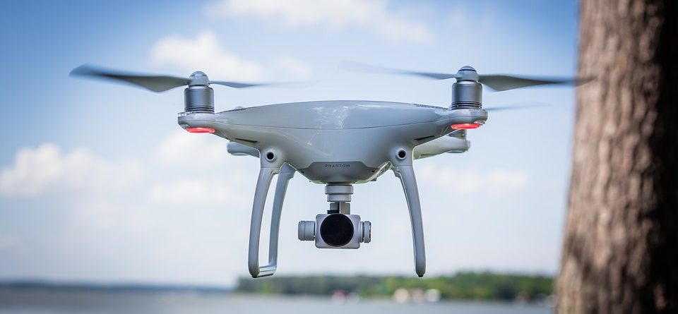
Apple has supposedly begun work on a drone-powered alternative to keep their Apple Maps service up to date and faster that their current fleet of sensor and camera-outfitted vans and vehicles. According to a report by Bloomberg Technology, Apple intends to use drones to examine street signs and track changes to streets and roads. Additionally, the report indicates that monitoring construction projects is also a major goal of the project, which has not yet been fully approved by the FAA.
While Apple usually does not respond to inquiries regarding future plans and technologies they will be using, there was an FAA exemption granted on March 22, 2016 for Apple to "operate an unmanned aircraft system to conduct data collection, photography, and videography". In the application, Apple stated they would be using many different drones from DJI, Intel, and Parrot, with data collection services managed by a company called Aibotix GmbH.
In the application, Apple also addressed potential safety hazards of using the drones and how they intend to mitigate the risk:
The proposed operations do not create any hazard to users of the NAS or pose a threat to national security. The Aircraft are battery operated with a maximum flight time of less than 25 minutes. The Aircraft weigh less than 55 pounds. The Aircraft will be operated at or below 400 feet AGL within the visual line of sight of the pilot in command. UAS operations will be over private or controlled access property with the permission of the owner/controller or authorized agent.You can read the full FAA exemption filed by Apple here. If Apple begins mapping efforts as intended, they may face some obstacles considering that current FAA exemptions still do not allow you to fly over people or roads. How Apple intends to navigate around these restrictions is still up in the air (no pun intended). Digital maps are essential to both the Apple and Google ecosystems, with consumers and developers alike both relying on the accuracy of the maps to travel to and from locations, and develop applications that use the map features. Accuracy is key, and if Apple can improve its current mapping efforts to match or beat Google, they will be well positioned for growth and user adoption.


