19Dec
B4UFLY app helps operators determine legal flight status
 December 19, 2016 – With all the new FAA regulations taking affect, many drone operators – professionals and hobbyists, alike – are asking a very important question: “Where can I fly my drone legally?”
As you know, the FAA has rules defining where and when commercial operators and hobbyists can fly legally. The rules, of course, differ for each group.
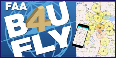
To provide clarity, the FAA developed the B4UFLY app to help operators quickly determine where they can fly legally. The app is offered for both iOS and Android systems.
How it works
The B4UFLY app uses the GPS in your phone or tablet to determine your current location on the map. It then uses this information to determine if it is safe and/or legal to fly. The FAA describes the app as, “providing model aircraft users with situational awareness by considering the user’s current or planned location in relation to operational restrictions to derive a specific status indicator.” The color coded status indicators inform operators if flight is prohibited, if action is required of the flyer, or if there are no FAA flight restrictions other than standard safe operation of the craft.The app also features:
- Heads-Up Status View for quick “at-a-glance” review of current status
- Map Interface to plot nearby flight restrictions
- Planner Mode which helps users “plan” for different flight locations and times
- More Info which lists helpful links and additional FAA resources

