Aeromapper TALON
$9,980.00
The easiest way to achieve professional georeferenced DEMs and orthomosaics.
- Description
- Specifications
Description
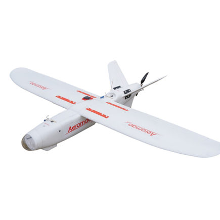
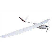
Aeromapper TALON by Aeromao is the easiest way to achieve professional georeferenced DEMs and orthomosaics.
With 2-hour endurance, great features and an unmatched price point, this UAV package is everything beginners and experienced users need for their operations. Plus, it is now available with an optional GNSS PPK upgrade for up to 3cm accuracy with no Ground Control Points.
Aeromapper TALON Features
The Aeromapper TALON provides numerous capabilities at an affordable price. All units are delivered flight tested and ready to fly. Features include:
- Strong foam body internally reinforced with carbon fiber
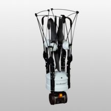
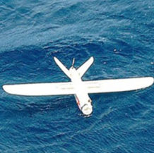
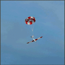
- Parachute recovery and belly landing available
- 24 megapixel camera
- Many other sensor options
- Automatic lens cover door
- Easy hand-launch
- 5 minutes setup time
- 2 hours of endurance
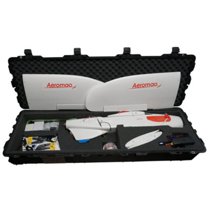
- Easy to transport
- +30km link range.
The camera is installed in panoramic orientation for most optimal area coverage with maximum side overlap. Othomosaics of up to 1.5cm/pixel resolution are easy to achieve thanks to its low speed and incredible stability. It delivers georeferenced imagery. Its fully modular constructions allows for quick easy replacement of parts.
No experience or training is required.
Ideal for confined areas or difficult terrain: its amazing climb angle of more than 45 degrees, plus its unique ability to safely deploy the parachute at very low altitudes makes the Aeromapper Talon the top choice for those difficult missions.
Kit Includes
- Aeromapper TALON Unmanned System Ready to Fly
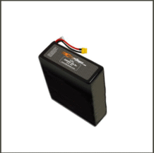
- One set of batteries for 2 hrs of flight time
- 30 Km Link system
- Sony 24 mp camera with 20mm lens
- Lipo Battery Charger
- User’s Manuals & Documentation
- Heavy duty carrying cases
- Mission Planner Software
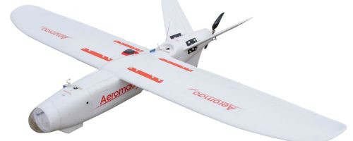
Its modular design allows users to easily and quickly replace parts. We always maintain replacement parts in stock for quick immediate shipping worldwide.
Additional Features
The main sensor lens is protected during landing via a ventral sliding door that closes automatically before landing The UAV can also be operated in light rain with no problem.
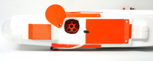
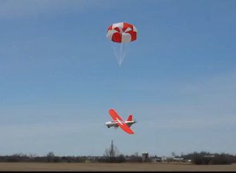
The parachute system can be activated at any moment during flight by the human pilot, or automatically as part of the mission script.
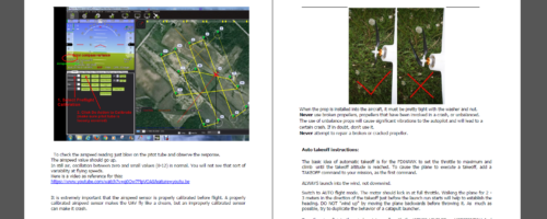
COMPREHENSIVE STEP-BY-STEP USER MANUAL:
The User Manual includes every single detail to get you airborne easily and without training expenses or previous experience. The User Manual includes comprehensive Step-by-Step instructions. And if you still have a question, we are always quickly available via phone, email, skype or whatsup. Optional hands-on training is also available upon request.
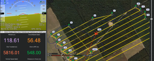
MISSION PLANNER :
Easily create complete survey missions in minutes with just a few clicks. Monitor the development of your mission, UAV health status, full flight information
Aeromapper TALON Additional Options
The Aeromapper TALON is available with additional options, including:
- Pix4DMapper Aeromao Professional Edition (bundled with the TALON vehicle package)
- GNSS PPK Upgrade
- Agisoft Metashape Professional Software
- Parrot Sequoia+ and 24 MP RGB
- FLIR Vue Pro and 24MP RGB dual setup
- Eyeshot Pro real-time video downlink system
- Micasense Rededge MX
- 42 MP RGB Camera: Sony DSC-RX1R II
- ADS-B live air traffic and transponder
- FLIR Duo R and FLIR Duo Pro R: thermal +4K video/stills
- Micasense Altum
- Hands-on flight training
- Online flight training
Please email info@shopunmanned.com to request pricing on any of the options listed.
About Aeromao
Aeromao is a company with the vision of becoming a worldwide leader in UAV innovation by creating the most versatile, small unmanned vehicles for civil applications. Aeromao is backed by years of experience and a history of innovative endeavors in the area of UAVs for high-precision mapping and aerial photography uses.
- Construction: EPO foam (durable, ans easy to repair, carbon fiber reinforced)
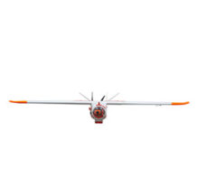
- Wingspan: 2 m
- Weight: 3500 grs (UAV)
- Endurance: 2 Hours. With full payload, tested in REAL conditions
- Launch:Very easy to hand-launch
- Takeoff: Fully automatic
- Landing: Aircraft repeat passes over desired landing area at 40m until parachute is deployed via a single switch. Belly landing possible with pilot assistance in auto-stabilization mode. Automatic parachute release on way-point also available upon request
- Range: +30kms, 433 Mhz. Tested in real conditions, BLOS ops
- Max. Altitude: About 5000 masl
- Cruise speed: 50Km/h
- Camera: Sony a 6000 with survey grade lens. More sensor combinations are available
- Flight modes: Manual, Stabilize, Return to Home, Fly be Wire, Auto
- Wind Tolerance: up to 35 km/h. for flight. 25km/h for parachuting landing
- Maximum speed: +85 Km/h – Great stability and minimal roll & pitch oscillations in gusty conditions = no gimbal required for cameras & sensors
- Failsafe: Automatically returns to home & loiter upon loss of RC link. Other failsafe routines available
- Telemetry: Battery status, alt, ground speed, compass, attitude, distance travelled, time on air (speech enabled), and more
- Moving map display: Drone position and heading, commands on map, fly to point on map, altitude changes, remote spot camera trigger, mission route, and more
- Low battery warning: Visual and audible alarm warnings. Thresholds are user definable
- Mission Planning: Altitude, side and length-wise overlaps, orientation of the lines, start & end waypoints, flying speed and overshoots are user definable. Drone automatically calculates flight time,distance between images and triggers camera automatically. Distance between lines is calculated automatically according to desired side overlap. A full complex mission can be created in 5 minutes or less in the field with no internet access. Instructions provided in Manual
- Weather: All weather performance. The Aeromappers can fly in light rain. All electronics are enclosed

